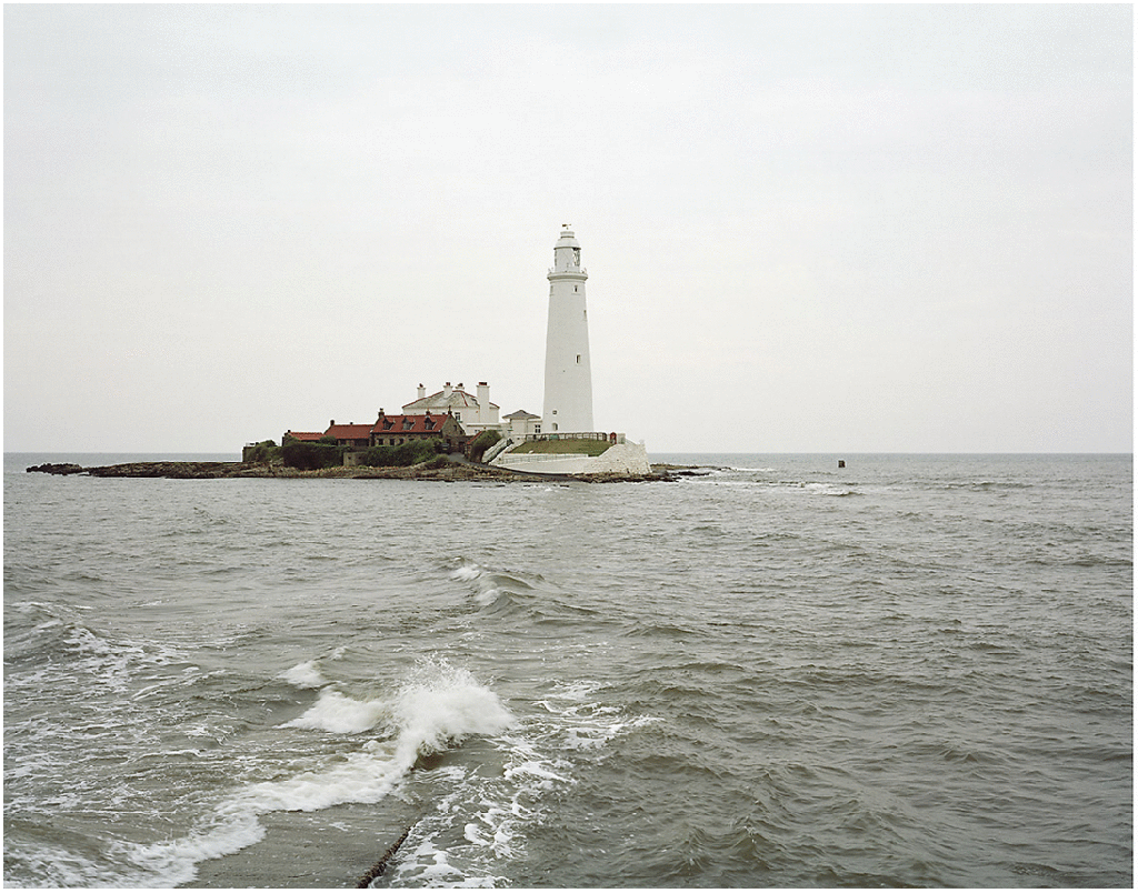
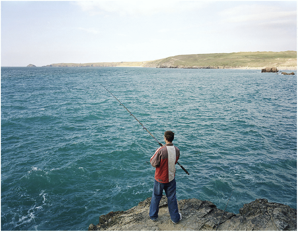
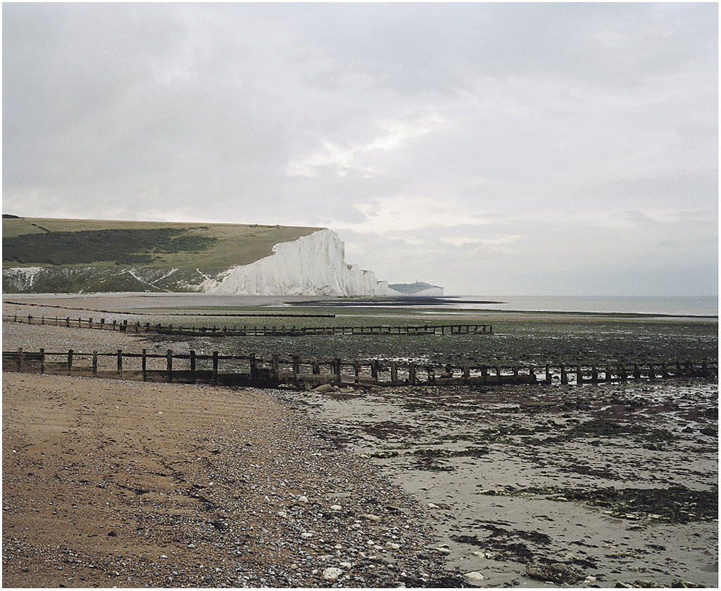
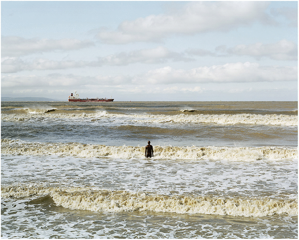
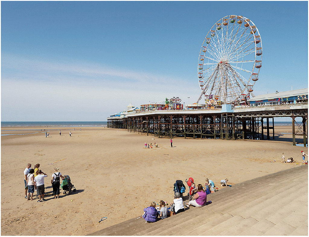

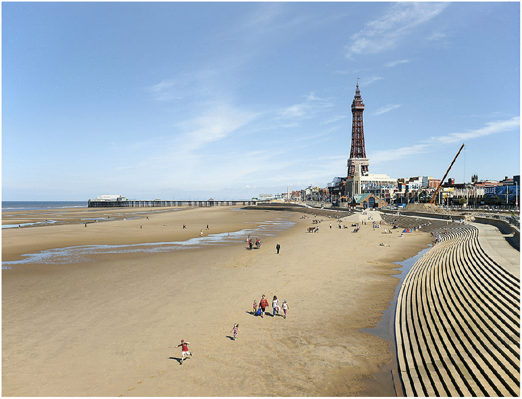
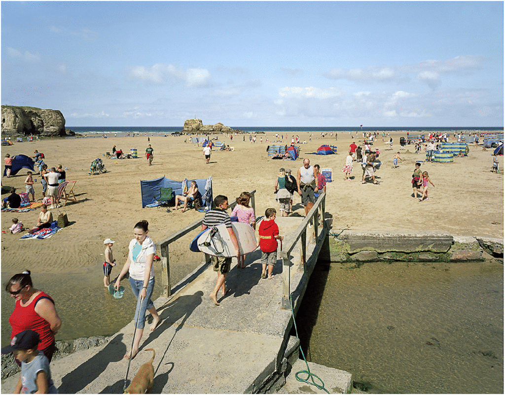
for over ten years, michael marten travelled to different parts of the british coast (click for location) to photograph identical views at high and low tide, revealing how the twice daily rhythm of ebb and flood can dramatically transform the landscape.
combining coastal maps and charts with tide tables, marten plotted out locations where, and times when, he could witness the greatest tidal differences – like at high spring tides, occurring around the full and new moons, and low neap tides, when the moon is on the wax or wane.
he also refined his own methods as a photographer to devised intricate means of ensuring that his camera was placed in precisely the same posture at both high and low tides, all to document what is the gravitational and centrifugal effects of the sun and the moon on the earth as spins on its axis.
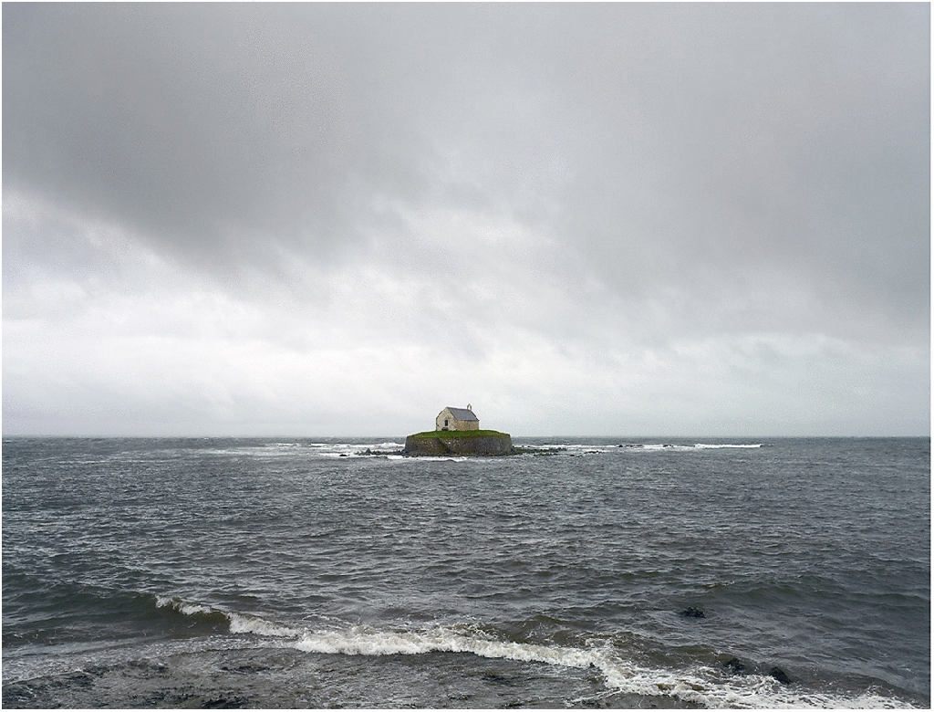
as marten notes, “i hope these photographs will stimulate people’s awareness of natural change, of landscape as dynamic process rather than static image. attending to earth’s rhythms can help us to reconnect with the fundamentals of our planet, which we ignore at our peril.”
he adds, “[these photos] are also comments on climate change. the tide floods in and quickly recedes again, but rising sea levels will flood our shores and not recede for thousands or millions of years. many of the views in these pictures may have disappeared in 100 years’ time.”